How Bournemouth’s Pleasure Gardens Became Part of the Town Story
Bournemouth pleasure gardens reveal how green space shaped the town’s character; learn to read their paths, valley setting and public history with care.
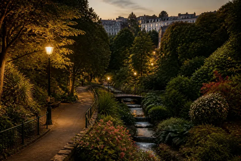
Follow a path from Bournemouth’s seafront towards the Lower Gardens and the town’s green landscape begins to feel less like a gap between buildings than a route through its history. Bournemouth pleasure gardens are especially legible in the Lower Gardens, where planted paths occupy the Bourne valley near the town centre. Their story is best read through this specific place and its changing setting, rather than through broad claims about how every garden or visitor experienced the town.
The Lower Gardens give the story a local anchor
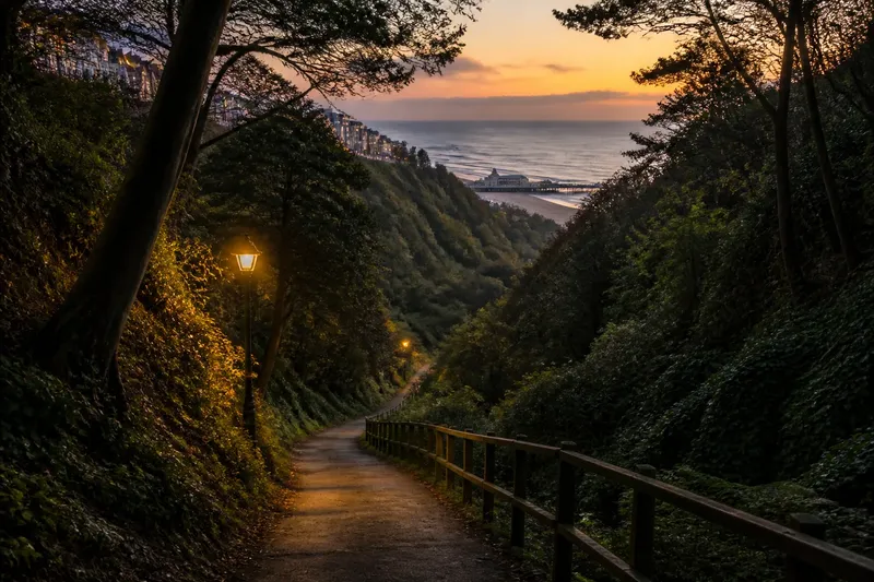
The Lower Gardens sit in the valley of the Bourne, close to the centre of Bournemouth. The stream, slopes and planted ground offer a clear contrast with the open shore. That contrast is visible in the landscape itself: a visitor can move from busy streets into a greener, more enclosed setting without leaving the town.
Calling such grounds “pleasure gardens” describes an intended experience of leisure, not a guarantee that everyone had equal access or used the space in the same way. Paths and planting make a landscape available for a stroll, but the history of ownership, management and public use must be established from local records rather than inferred from appearance alone.
The valley shaped how the gardens were experienced
Bournemouth’s valleys and wooded slopes distinguish its inland landscape from the beach and cliffs. In the Lower Gardens, the ground itself gives paths a particular character: routes follow a sheltered valley rather than crossing a flat, open lawn. This setting helps explain why the gardens belong in a town history as well as a history of recreation.
It is safer to describe what can be seen than to assign every curve or planting choice to an original designer. A path may reflect the terrain, later alterations or both. Without a dated plan or other local evidence, the landscape supports careful observation, not a confident account of its first design.
Read public purpose without assuming universal access
Green grounds near a town centre can serve residents and visitors, but their presence alone does not establish who could use them in each period. Rules, upkeep and access arrangements may change. To make a precise historical claim, look for dated council records, maps, guidebooks or local histories that identify the period and the specific grounds under discussion.
This distinction matters because “public” can describe an ideal as well as a documented arrangement. The Lower Gardens make the idea of shared leisure visible today; evidence is needed to show how that idea worked at a particular point in the past. Treating those as separate questions keeps the interpretation grounded.
What can visitors establish from the gardens today?
Where are Bournemouth’s pleasure gardens most clearly seen?
The Lower Gardens in the Bourne valley provide a readily identifiable place to examine the relationship between town and green space. A current map or local wayfinding can help confirm routes and access before a visit.
Does the landscape reveal its original design?
Not by itself. Paths and planting show the present arrangement, while dated maps, plans or written records are needed to distinguish earlier layouts from later changes.
Were the gardens equally accessible to everyone?
Do not assume so from the word “public” or from their present appearance. Check period-specific records for ownership, rules and access before making a claim about a particular community or era.
Which sources help verify a historical claim?
Compare a dated map or plan with local authority records and a reputable local history. If the sources disagree or omit access details, state that uncertainty rather than filling it with a general story.
A careful way to check a claim about the gardens
Say you are writing a caption that claims the Lower Gardens were open to every resident from their earliest period. Treat that as an unverified claim, then work through the evidence:
- Identify the place as the Lower Gardens in the Bourne valley, so the caption does not blur them with other green spaces.
- Find a dated map or plan that names or clearly locates the grounds; if it does not identify them, narrow the claim or seek another source.
- Check local authority records for ownership, management or access rules in the period concerned; if they are silent, do not claim universal access.
- Compare the map and records with a reputable local history; if dates or descriptions conflict, report the uncertainty and avoid presenting one account as settled.
- Rewrite the caption to match what the evidence supports; if it confirms only the gardens’ location and landscaped character, say that rather than making a claim about who could enter.
The resulting caption might state only that the Lower Gardens occupy the Bourne valley and form part of Bournemouth’s designed green landscape, while noting that access in a particular period needs separate evidence. That is a more useful account than an attractive but unsupported claim. There is little value in trying to assign every surviving tree or bend in a path to one original plan when the available evidence cannot do so.
Bournemouth pleasure gardens are most revealing when the visible landscape and the historical record are read together. The Lower Gardens show how the Bourne valley remains part of the town’s public character; maps and local records can then clarify how that space was arranged and used at different times. Keep those two kinds of evidence distinct, and the gardens become a precise starting point for reading Bournemouth’s past.